
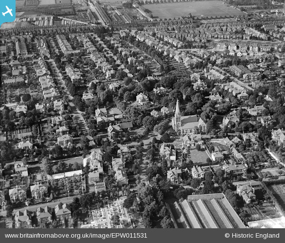
EPW011531 ENGLAND (1924). St Botulph's Church and environs, Worthing, 1924
© Copyright OpenStreetMap contributors and licensed by the OpenStreetMap Foundation. 2026. Cartography is licensed as CC BY-SA.
Details
| Title | [EPW011531] St Botulph's Church and environs, Worthing, 1924 |
| Reference | EPW011531 |
| Date | July-1924 |
| Link | |
| Place name | WORTHING |
| Parish | |
| District | |
| Country | ENGLAND |
| Easting / Northing | 513710, 102833 |
| Longitude / Latitude | -0.38576865203475, 50.813307883647 |
| National Grid Reference | TQ137028 |
Pins

Cathy |
Sunday 27th of August 2023 11:51:16 PM | |

SophieWattsit |
Saturday 11th of April 2020 07:55:35 PM |