
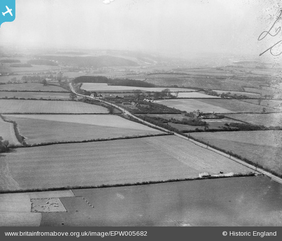
EPW005682 ENGLAND (1921). The London Road, Holtspur, from the east, 1921
© Copyright OpenStreetMap contributors and licensed by the OpenStreetMap Foundation. 2026. Cartography is licensed as CC BY-SA.
Details
| Title | [EPW005682] The London Road, Holtspur, from the east, 1921 |
| Reference | EPW005682 |
| Date | March-1921 |
| Link | |
| Place name | HOLTSPUR |
| Parish | BEACONSFIELD |
| District | |
| Country | ENGLAND |
| Easting / Northing | 493026, 189695 |
| Longitude / Latitude | -0.65677626708112, 51.597935448851 |
| National Grid Reference | SU930897 |
Pins

cafestop |
Wednesday 8th of November 2017 08:59:50 AM | |
|
SimonRoberts |
Sunday 19th of May 2013 02:26:11 PM | |

Class31 |
Thursday 20th of September 2012 05:55:37 PM |