
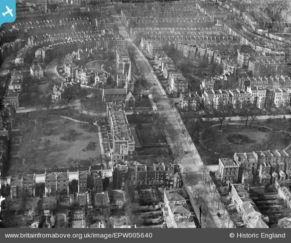
EPW005640 ENGLAND (1921). The Ladbroke Estate, Notting Hill, 1921
© Copyright OpenStreetMap contributors and licensed by the OpenStreetMap Foundation. 2026. Cartography is licensed as CC BY-SA.
Details
| Title | [EPW005640] The Ladbroke Estate, Notting Hill, 1921 |
| Reference | EPW005640 |
| Date | March-1921 |
| Link | |
| Place name | NOTTING HILL |
| Parish | |
| District | |
| Country | ENGLAND |
| Easting / Northing | 524638, 180585 |
| Longitude / Latitude | -0.20376361903276, 51.509946237512 |
| National Grid Reference | TQ246806 |
Pins

Eveline |
Wednesday 10th of March 2021 08:10:10 AM | |
|
BSA Alan |
Thursday 20th of December 2018 01:08:32 PM | |
|
The Laird |
Saturday 6th of June 2015 02:15:36 PM | |
David Parry |
Saturday 4th of May 2013 11:01:58 PM | |
David Parry |
Saturday 4th of May 2013 11:00:06 PM | |
|
christhewino |
Friday 28th of December 2012 08:48:29 PM | |
|
christhewino |
Friday 28th of December 2012 08:48:03 PM |