
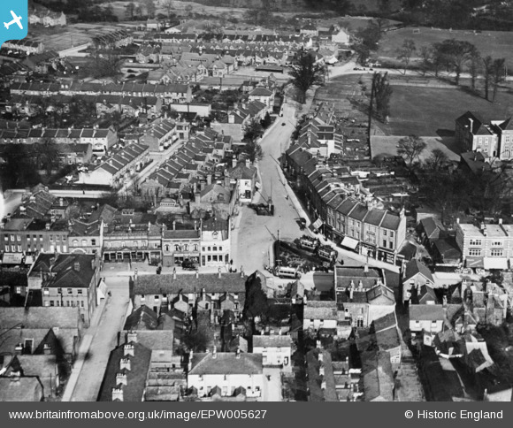
EPW005627 ENGLAND (1921). Bell Lane, Hendon, 1921. This image has been produced from a damaged copy-negative.
© Copyright OpenStreetMap contributors and licensed by the OpenStreetMap Foundation. 2026. Cartography is licensed as CC BY-SA.
Details
| Title | [EPW005627] Bell Lane, Hendon, 1921. This image has been produced from a damaged copy-negative. |
| Reference | EPW005627 |
| Date | March-1921 |
| Link | |
| Place name | HENDON |
| Parish | |
| District | |
| Country | ENGLAND |
| Easting / Northing | 523458, 189018 |
| Longitude / Latitude | -0.21780055931997, 51.586001874292 |
| National Grid Reference | TQ235890 |
Pins
Be the first to add a comment to this image!