
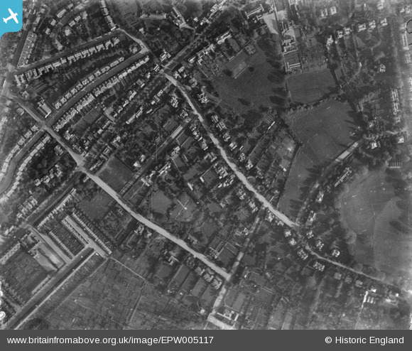
EPW005117 ENGLAND (1920). Broadlands Road and environs, Highgate, 1920
© Copyright OpenStreetMap contributors and licensed by the OpenStreetMap Foundation. 2026. Cartography is licensed as CC BY-SA.
Details
| Title | [EPW005117] Broadlands Road and environs, Highgate, 1920 |
| Reference | EPW005117 |
| Date | 18-October-1920 |
| Link | |
| Place name | HIGHGATE |
| Parish | |
| District | |
| Country | ENGLAND |
| Easting / Northing | 528009, 187928 |
| Longitude / Latitude | -0.15253734940485, 51.575189661877 |
| National Grid Reference | TQ280879 |
Pins

richardperry |
Thursday 15th of May 2025 04:16:35 PM | |
|
richardperry |
Thursday 15th of May 2025 04:10:27 PM | |
|
Peter |
Wednesday 23rd of January 2013 08:19:51 AM |