
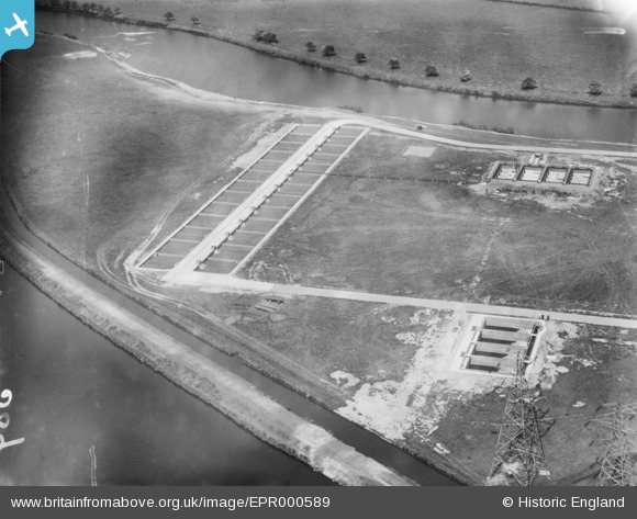
EPR000589 ENGLAND (1935). Westy Lane Sewage Works, Warrington, 1935
© Copyright OpenStreetMap contributors and licensed by the OpenStreetMap Foundation. 2025. Cartography is licensed as CC BY-SA.
Details
| Title | [EPR000589] Westy Lane Sewage Works, Warrington, 1935 |
| Reference | EPR000589 |
| Date | 10-May-1935 |
| Link | |
| Place name | WARRINGTON |
| Parish | |
| District | |
| Country | ENGLAND |
| Easting / Northing | 362716, 388346 |
| Longitude / Latitude | -2.5606887510797, 53.390371362163 |
| National Grid Reference | SJ627883 |
Pins
Be the first to add a comment to this image!