
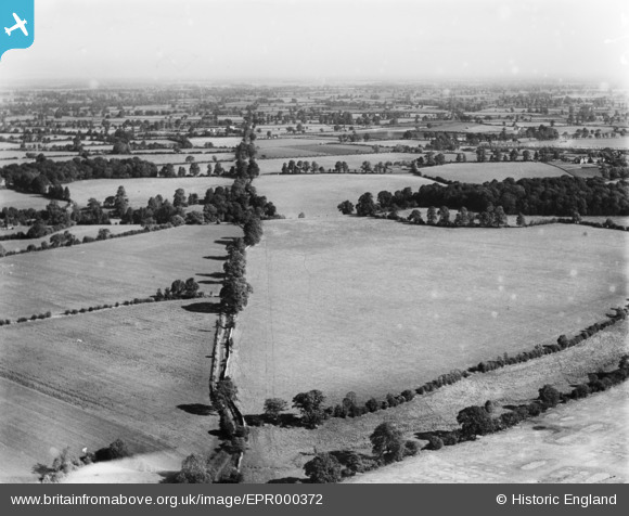
EPR000372 ENGLAND (1934). The Fosse Way by Foxley Grove, Foxley, from the south-west, 1934
© Copyright OpenStreetMap contributors and licensed by the OpenStreetMap Foundation. 2025. Cartography is licensed as CC BY-SA.
Details
| Title | [EPR000372] The Fosse Way by Foxley Grove, Foxley, from the south-west, 1934 |
| Reference | EPR000372 |
| Date | 28-September-1934 |
| Link | |
| Place name | FOXLEY |
| Parish | NORTON |
| District | |
| Country | ENGLAND |
| Easting / Northing | 388631, 186448 |
| Longitude / Latitude | -2.1640783040239, 51.576307524967 |
| National Grid Reference | ST886864 |
Pins
Be the first to add a comment to this image!