
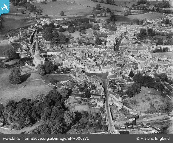
EPR000371 ENGLAND (1934). The town, Tetbury, 1934
© Copyright OpenStreetMap contributors and licensed by the OpenStreetMap Foundation. 2025. Cartography is licensed as CC BY-SA.
Details
| Title | [EPR000371] The town, Tetbury, 1934 |
| Reference | EPR000371 |
| Date | 28-September-1934 |
| Link | |
| Place name | TETBURY |
| Parish | TETBURY |
| District | |
| Country | ENGLAND |
| Easting / Northing | 389119, 193022 |
| Longitude / Latitude | -2.1572395484386, 51.635432608897 |
| National Grid Reference | ST891930 |
Pins
Be the first to add a comment to this image!