
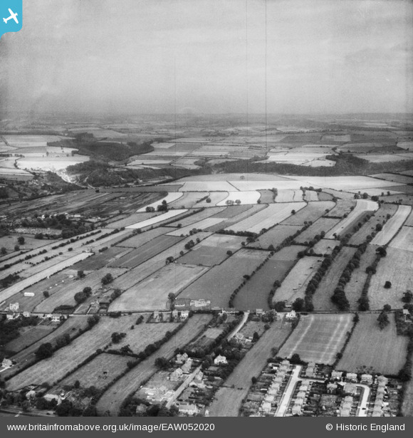
EAW052020 ENGLAND (1953). Strip field system north of Ruffa Lane, Pickering, from the south, 1953
© Copyright OpenStreetMap contributors and licensed by the OpenStreetMap Foundation. 2026. Cartography is licensed as CC BY-SA.
Details
| Title | [EAW052020] Strip field system north of Ruffa Lane, Pickering, from the south, 1953 |
| Reference | EAW052020 |
| Date | 5-September-1953 |
| Link | |
| Place name | PICKERING |
| Parish | PICKERING |
| District | |
| Country | ENGLAND |
| Easting / Northing | 480634, 483931 |
| Longitude / Latitude | -0.76246345159418, 54.244547033908 |
| National Grid Reference | SE806839 |
Pins

kelpie |
Tuesday 10th of November 2015 04:55:28 PM |