
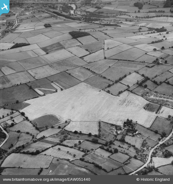
EAW051440 ENGLAND (1953). Former opencast mine site near the sewage works, Heage, 1953
© Copyright OpenStreetMap contributors and licensed by the OpenStreetMap Foundation. 2025. Cartography is licensed as CC BY-SA.
Details
| Title | [EAW051440] Former opencast mine site near the sewage works, Heage, 1953 |
| Reference | EAW051440 |
| Date | 12-August-1953 |
| Link | |
| Place name | HEAGE |
| Parish | RIPLEY |
| District | |
| Country | ENGLAND |
| Easting / Northing | 436213, 350055 |
| Longitude / Latitude | -1.4597649724962, 53.0462295788 |
| National Grid Reference | SK362501 |
Pins

lather30 |
Wednesday 20th of December 2023 02:02:57 AM | |
|
lather30 |
Wednesday 20th of December 2023 02:00:45 AM | |
|
lather30 |
Sunday 30th of June 2019 04:55:03 PM | |

Class31 |
Thursday 30th of October 2014 11:34:47 PM | |
|
Class31 |
Thursday 30th of October 2014 11:32:02 PM | |
|
Class31 |
Thursday 30th of October 2014 11:31:16 PM | |
|
Class31 |
Thursday 30th of October 2014 11:29:47 PM |
User Comment Contributions
Belper is at the top of the photo. |
Class31 |
Thursday 30th of October 2014 11:36:05 PM |