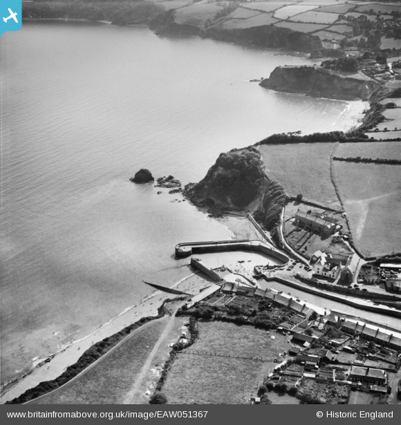
EAW051367 ENGLAND (1953). Charlestown Docks, Polmear Island and Du Porth, Charlestown, 1953
© Copyright OpenStreetMap contributors and licensed by the OpenStreetMap Foundation. 2025. Cartography is licensed as CC BY-SA.
Details
| Title | [EAW051367] Charlestown Docks, Polmear Island and Du Porth, Charlestown, 1953 |
| Reference | EAW051367 |
| Date | 11-August-1953 |
| Link | |
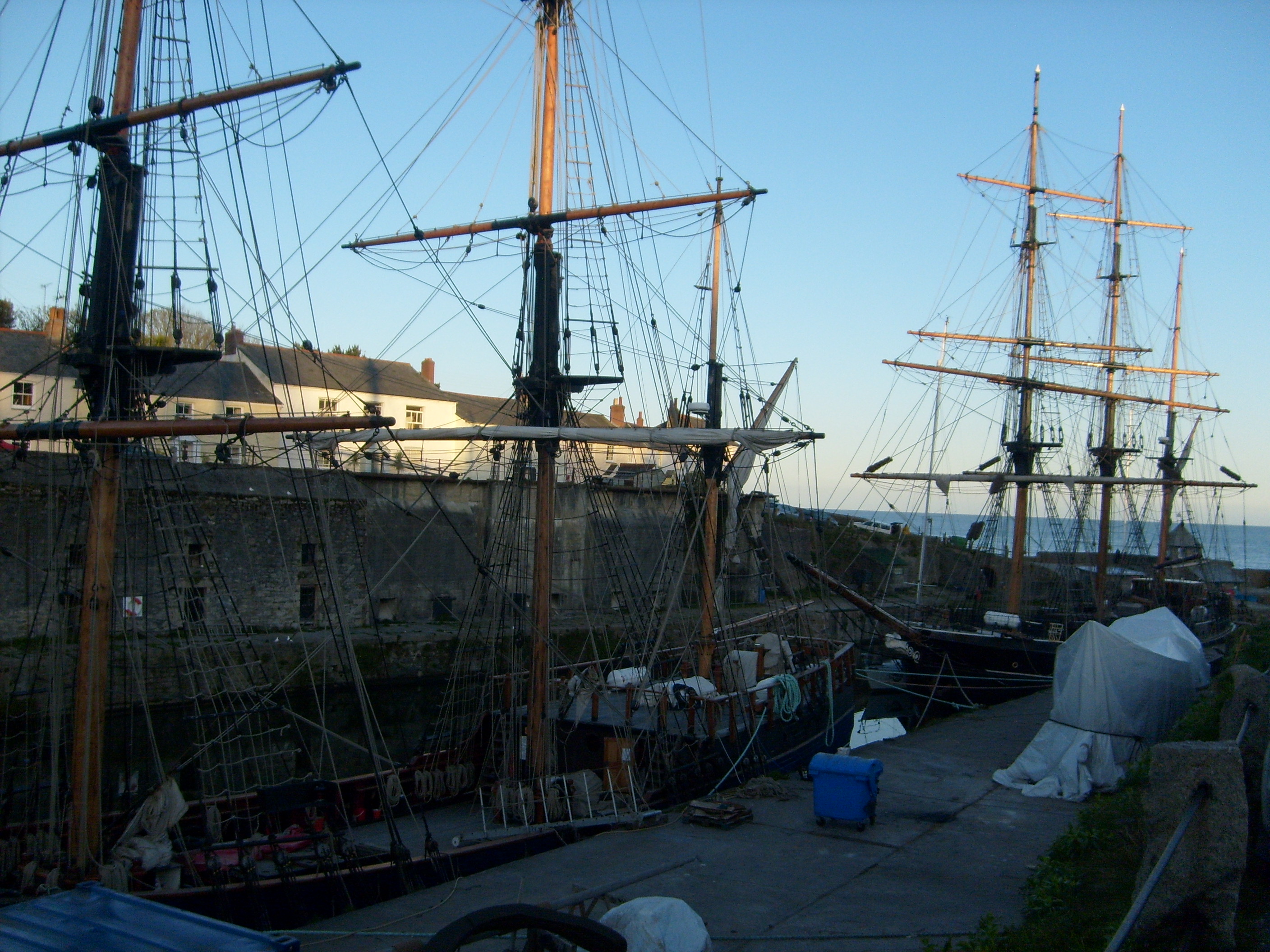
| Place name | CHARLESTOWN |
| Parish | ST. AUSTELL BAY |
| District | |
| Country | ENGLAND |
| Easting / Northing | 203895, 51368 |
| Longitude / Latitude | -4.7556371748037, 50.328944181126 |
| National Grid Reference | SX039514 |
Pins

Matt Aldred edob.mattaldred.com |
Sunday 16th of February 2025 03:11:04 PM | |

CornwallPhil |
Sunday 16th of August 2015 09:32:19 PM | |
|
CornwallPhil |
Sunday 16th of August 2015 09:30:35 PM | |
 |
Andrew Sandars |
Wednesday 6th of May 2015 05:33:59 AM |
 |
Andrew Sandars |
Wednesday 6th of May 2015 05:33:52 AM |
 |
Andrew Sandars |
Wednesday 6th of May 2015 05:33:43 AM |