
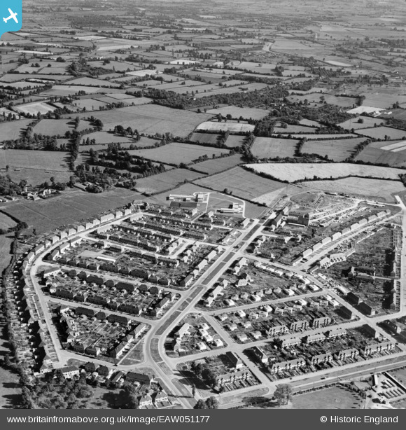
EAW051177 ENGLAND (1953). The residential area at Sydenham, Bridgwater, 1953
© Copyright OpenStreetMap contributors and licensed by the OpenStreetMap Foundation. 2026. Cartography is licensed as CC BY-SA.
Details
| Title | [EAW051177] The residential area at Sydenham, Bridgwater, 1953 |
| Reference | EAW051177 |
| Date | 6-August-1953 |
| Link | |
| Place name | BRIDGWATER |
| Parish | BRIDGWATER |
| District | |
| Country | ENGLAND |
| Easting / Northing | 331481, 137549 |
| Longitude / Latitude | -2.9793746241024, 51.13258620584 |
| National Grid Reference | ST315375 |
Pins

Post-war prefabs |
Thursday 7th of November 2019 08:47:08 AM |