
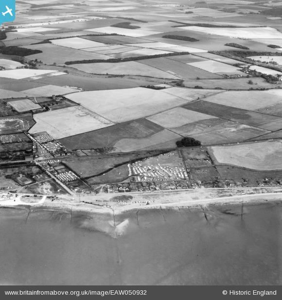
EAW050932 ENGLAND (1953). The northern end of South Beach Road, 4 Shores Caravan Park and the surrounding countryside, Hunstanton, from the west, 1953
© Copyright OpenStreetMap contributors and licensed by the OpenStreetMap Foundation. 2025. Cartography is licensed as CC BY-SA.
Details
| Title | [EAW050932] The northern end of South Beach Road, 4 Shores Caravan Park and the surrounding countryside, Hunstanton, from the west, 1953 |
| Reference | EAW050932 |
| Date | 30-July-1953 |
| Link | |
| Place name | HUNSTANTON |
| Parish | HUNSTANTON |
| District | |
| Country | ENGLAND |
| Easting / Northing | 566733, 339918 |
| Longitude / Latitude | 0.48092394621428, 52.930420800071 |
| National Grid Reference | TF667399 |
Pins

melgibbs |
Thursday 12th of March 2015 03:42:28 PM |
User Comment Contributions
South beach road is where my aunt died with three of her daughters in the 1953 floods. |

Marlene |
Wednesday 22nd of February 2017 09:09:04 PM |