
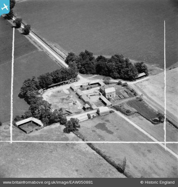
EAW050881 ENGLAND (1953). Lodge Farm, Huntingdon, 1953. This image was marked by Aerofilms Ltd for photo editing.
© Copyright OpenStreetMap contributors and licensed by the OpenStreetMap Foundation. 2025. Cartography is licensed as CC BY-SA.
Details
| Title | [EAW050881] Lodge Farm, Huntingdon, 1953. This image was marked by Aerofilms Ltd for photo editing. |
| Reference | EAW050881 |
| Date | 25-July-1953 |
| Link | |
| Place name | HUNTINGDON |
| Parish | WYTON-ON-THE-HILL |
| District | |
| Country | ENGLAND |
| Easting / Northing | 525361, 274488 |
| Longitude / Latitude | -0.15912597788361, 52.353719435091 |
| National Grid Reference | TL254745 |
Pins
Be the first to add a comment to this image!