
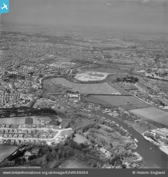
EAW049064 ENGLAND (1953). The River Stour and environs, Tuckton, from the east, 1953
© Copyright OpenStreetMap contributors and licensed by the OpenStreetMap Foundation. 2025. Cartography is licensed as CC BY-SA.
Details
| Title | [EAW049064] The River Stour and environs, Tuckton, from the east, 1953 |
| Reference | EAW049064 |
| Date | 4-May-1953 |
| Link | |
| Place name | TUCKTON |
| Parish | |
| District | |
| Country | ENGLAND |
| Easting / Northing | 415252, 92225 |
| Longitude / Latitude | -1.783877116381, 50.72887055988 |
| National Grid Reference | SZ153922 |
Pins

Brian |
Saturday 31st of December 2022 10:49:54 PM | |
|
Mike |
Monday 10th of February 2020 01:20:01 PM | |
|
MikeMist |
Sunday 8th of June 2014 11:57:39 PM | |
|
MikeMist |
Sunday 8th of June 2014 11:53:54 PM | |
|
MikeMist |
Sunday 8th of June 2014 11:52:54 PM | |
|
MikeMist |
Sunday 8th of June 2014 11:48:34 PM | |
|
MikeMist |
Sunday 8th of June 2014 11:41:06 PM |