
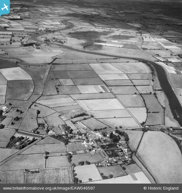
EAW046587 ENGLAND (1952). The village and surrounding countryside, Dunham on Trent, from the south-west, 1952
© Copyright OpenStreetMap contributors and licensed by the OpenStreetMap Foundation. 2025. Cartography is licensed as CC BY-SA.
Details
| Title | [EAW046587] The village and surrounding countryside, Dunham on Trent, from the south-west, 1952 |
| Reference | EAW046587 |
| Date | 1-September-1952 |
| Link | |
| Place name | DUNHAM ON TRENT |
| Parish | DUNHAM-ON-TRENT |
| District | |
| Country | ENGLAND |
| Easting / Northing | 481391, 374501 |
| Longitude / Latitude | -0.77969283481896, 53.260980549348 |
| National Grid Reference | SK814745 |
Pins

towisuk |
Monday 1st of February 2021 08:54:25 PM |