
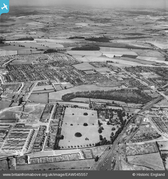
EAW045557 ENGLAND (1952). West Glebe Park and the town, Corby, from the south, 1952
© Copyright OpenStreetMap contributors and licensed by the OpenStreetMap Foundation. 2025. Cartography is licensed as CC BY-SA.
Details
| Title | [EAW045557] West Glebe Park and the town, Corby, from the south, 1952 |
| Reference | EAW045557 |
| Date | 19-July-1952 |
| Link | |
| Place name | CORBY |
| Parish | |
| District | |
| Country | ENGLAND |
| Easting / Northing | 488900, 288695 |
| Longitude / Latitude | -0.69057990638061, 52.488549587179 |
| National Grid Reference | SP889887 |
Pins
Be the first to add a comment to this image!