
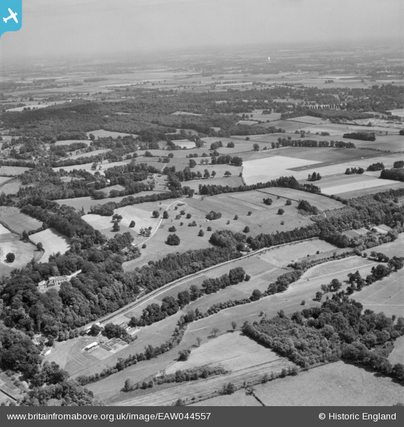
EAW044557 ENGLAND (1952). The grounds of Hennerton House and the surrounding countryside, Crazies Hill, from the north-west, 1952
© Copyright OpenStreetMap contributors and licensed by the OpenStreetMap Foundation. 2026. Cartography is licensed as CC BY-SA.
Details
| Title | [EAW044557] The grounds of Hennerton House and the surrounding countryside, Crazies Hill, from the north-west, 1952 |
| Reference | EAW044557 |
| Date | 4-July-1952 |
| Link | |
| Place name | CRAZIES HILL |
| Parish | WARGRAVE |
| District | |
| Country | ENGLAND |
| Easting / Northing | 478382, 180408 |
| Longitude / Latitude | -0.8702466764011, 51.516667951585 |
| National Grid Reference | SU784804 |
Pins
Be the first to add a comment to this image!