
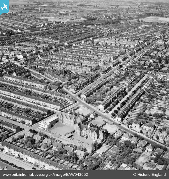
EAW043652 ENGLAND (1952). South Park County Primary School, Water Lane, Breamore Road and environs, Ilford, from the south-west, 1952
© Copyright OpenStreetMap contributors and licensed by the OpenStreetMap Foundation. 2026. Cartography is licensed as CC BY-SA.
Details
| Title | [EAW043652] South Park County Primary School, Water Lane, Breamore Road and environs, Ilford, from the south-west, 1952 |
| Reference | EAW043652 |
| Date | 4-June-1952 |
| Link | |
| Place name | ILFORD |
| Parish | |
| District | |
| Country | ENGLAND |
| Easting / Northing | 545507, 186408 |
| Longitude / Latitude | 0.099197888056499, 51.557285073111 |
| National Grid Reference | TQ455864 |
Pins
Be the first to add a comment to this image!