
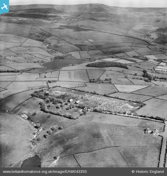
EAW043355 ENGLAND (1952). Cemetery on Cemetery Road, Bettenhill, from the north-west, 1952
© Copyright OpenStreetMap contributors and licensed by the OpenStreetMap Foundation. 2026. Cartography is licensed as CC BY-SA.
Details
| Title | [EAW043355] Cemetery on Cemetery Road, Bettenhill, from the north-west, 1952 |
| Reference | EAW043355 |
| Date | 16-May-1952 |
| Link | |
| Place name | BETTENHILL |
| Parish | |
| District | |
| Country | ENGLAND |
| Easting / Northing | 403406, 395805 |
| Longitude / Latitude | -1.9486974842947, 53.458730027158 |
| National Grid Reference | SK034958 |
Pins

Andy T |
Friday 11th of June 2021 08:32:58 PM | |
|
Andy T |
Friday 11th of June 2021 08:30:32 PM | |

Class31 |
Sunday 5th of October 2014 09:05:10 AM | |
|
Class31 |
Sunday 5th of October 2014 09:04:16 AM | |
|
Class31 |
Sunday 5th of October 2014 09:02:15 AM | |
|
Class31 |
Sunday 5th of October 2014 09:01:28 AM |