
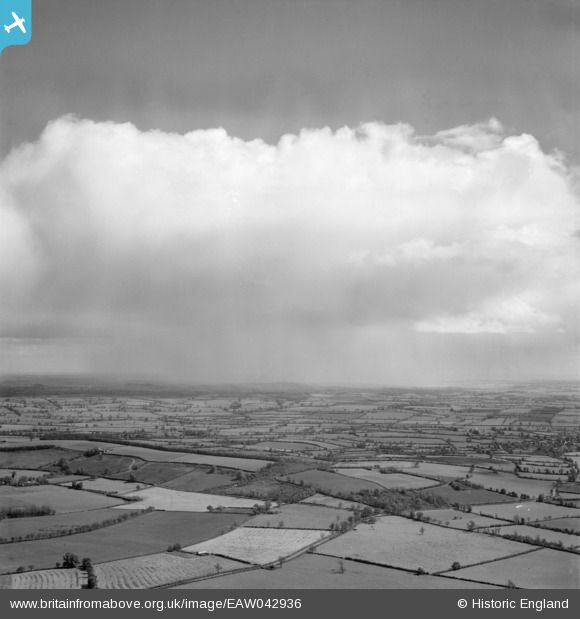
EAW042936 ENGLAND (1952). Cloudscape, Stoneton, from the west, 1952
© Copyright OpenStreetMap contributors and licensed by the OpenStreetMap Foundation. 2026. Cartography is licensed as CC BY-SA.
Details
| Title | [EAW042936] Cloudscape, Stoneton, from the west, 1952 |
| Reference | EAW042936 |
| Date | 5-July-1952 |
| Link | |
| Place name | STONETON |
| Parish | STONETON |
| District | |
| Country | ENGLAND |
| Easting / Northing | 446183, 253860 |
| Longitude / Latitude | -1.3244829952144, 52.180652098431 |
| National Grid Reference | SP462539 |
Pins

Class31 |
Sunday 27th of April 2014 12:27:46 PM | |
|
Class31 |
Sunday 27th of April 2014 12:26:50 PM | |
|
Class31 |
Sunday 27th of April 2014 12:25:52 PM | |
|
Class31 |
Sunday 27th of April 2014 12:25:17 PM | |
|
Class31 |
Sunday 27th of April 2014 12:24:51 PM | |
|
Class31 |
Sunday 27th of April 2014 12:23:42 PM |
User Comment Contributions
Thanks for the helpful pins Class31. We’ll update the catalogue with the new location data and post the revised record here in due course. Yours, Katy Britain from Above Cataloguing Team Leader |
Katy Whitaker |
Tuesday 29th of April 2014 03:57:48 PM |
Now located as looking east from near Wormleighton over Stoneton and Berryhill Farm towards Upper Boddington. |
Class31 |
Sunday 27th of April 2014 12:34:12 PM |
View is looking broadly east over Berryhill Plantation and Stoneton. |
Class31 |
Sunday 27th of April 2014 12:30:40 PM |
Eureka |
Class31 |
Sunday 27th of April 2014 12:21:43 PM |
series EAW042936 - EAW042942 |

TomRobin |
Sunday 27th of April 2014 08:42:39 AM |