
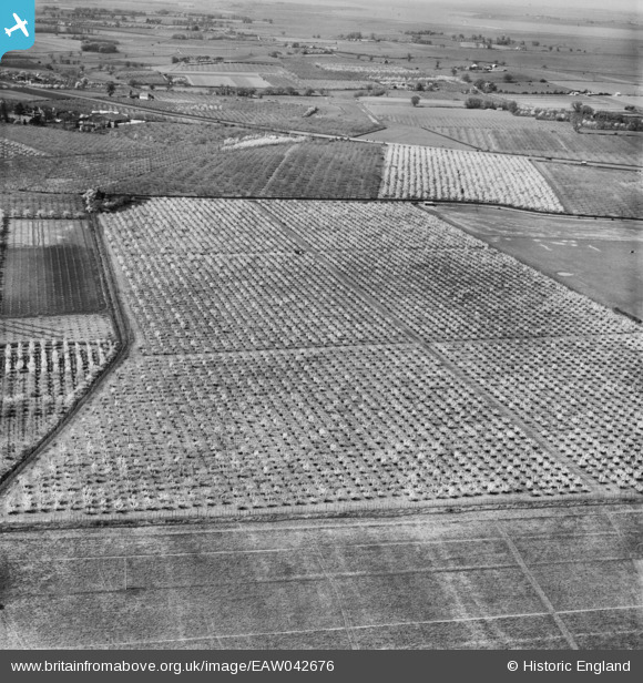
EAW042676 ENGLAND (1952). Orchards around Plum Pudding Lane, Dargate, 1952
© Copyright OpenStreetMap contributors and licensed by the OpenStreetMap Foundation. 2026. Cartography is licensed as CC BY-SA.
Details
| Title | [EAW042676] Orchards around Plum Pudding Lane, Dargate, 1952 |
| Reference | EAW042676 |
| Date | 25-April-1952 |
| Link | |
| Place name | DARGATE |
| Parish | HERNHILL |
| District | |
| Country | ENGLAND |
| Easting / Northing | 608274, 161981 |
| Longitude / Latitude | 0.9892256137039, 51.318245950735 |
| National Grid Reference | TR083620 |
Pins

Sparky |
Tuesday 18th of April 2023 08:55:15 AM |