
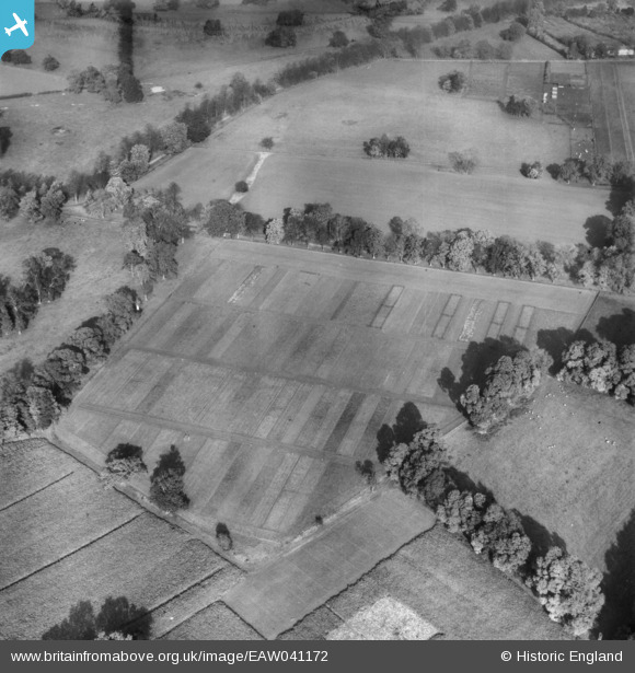
EAW041172 ENGLAND (1951). Cultivated plots at the Rothamsted Experimental Farm, Rothamsted, 1951. This image has been produced from a damaged negative.
© Copyright OpenStreetMap contributors and licensed by the OpenStreetMap Foundation. 2026. Cartography is licensed as CC BY-SA.
Details
| Title | [EAW041172] Cultivated plots at the Rothamsted Experimental Farm, Rothamsted, 1951. This image has been produced from a damaged negative. |
| Reference | EAW041172 |
| Date | 1-November-1951 |
| Link | |
| Place name | ROTHAMSTED |
| Parish | HARPENDEN RURAL |
| District | |
| Country | ENGLAND |
| Easting / Northing | 512928, 213023 |
| Longitude / Latitude | -0.36196553527839, 51.803981041325 |
| National Grid Reference | TL129130 |
Pins
Be the first to add a comment to this image!