
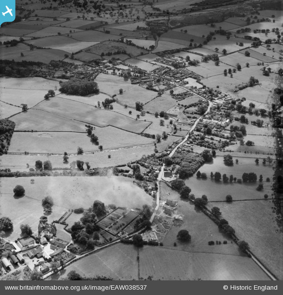
EAW038537 ENGLAND (1951). The village, Ruyton-XI-Towns, 1951. This image has been produced from a damaged negative.
© Copyright OpenStreetMap contributors and licensed by the OpenStreetMap Foundation. 2026. Cartography is licensed as CC BY-SA.
Details
| Title | [EAW038537] The village, Ruyton-XI-Towns, 1951. This image has been produced from a damaged negative. |
| Reference | EAW038537 |
| Date | 1-August-1951 |
| Link | |
| Place name | RUYTON-XI-TOWNS |
| Parish | RUYTON-XI-TOWNS |
| District | |
| Country | ENGLAND |
| Easting / Northing | 339236, 322580 |
| Longitude / Latitude | -2.9013098020497, 52.797024139896 |
| National Grid Reference | SJ392226 |
Pins
Be the first to add a comment to this image!