
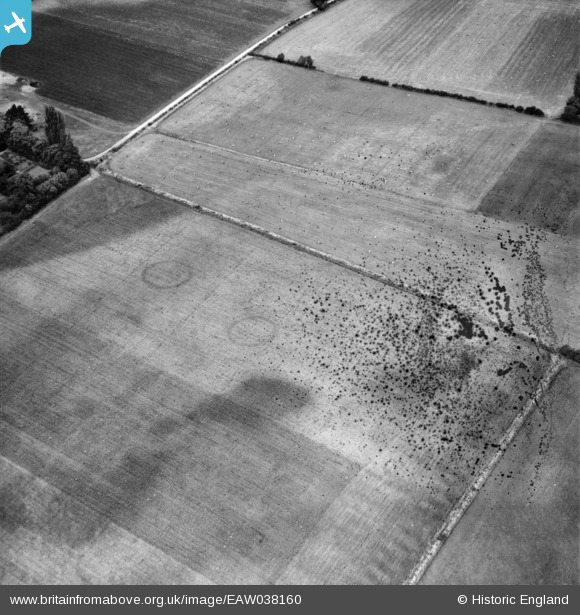
EAW038160 ENGLAND (1951). Fields adjacent to City Farm, Eynsham, 1951. This image has been produced from a damaged negative.
© Copyright OpenStreetMap contributors and licensed by the OpenStreetMap Foundation. 2026. Cartography is licensed as CC BY-SA.
Details
| Title | [EAW038160] Fields adjacent to City Farm, Eynsham, 1951. This image has been produced from a damaged negative. |
| Reference | EAW038160 |
| Date | 28-July-1951 |
| Link | |
| Place name | EYNSHAM |
| Parish | EYNSHAM |
| District | |
| Country | ENGLAND |
| Easting / Northing | 442934, 210918 |
| Longitude / Latitude | -1.3773803754074, 51.79481349847 |
| National Grid Reference | SP429109 |
Pins
Be the first to add a comment to this image!