
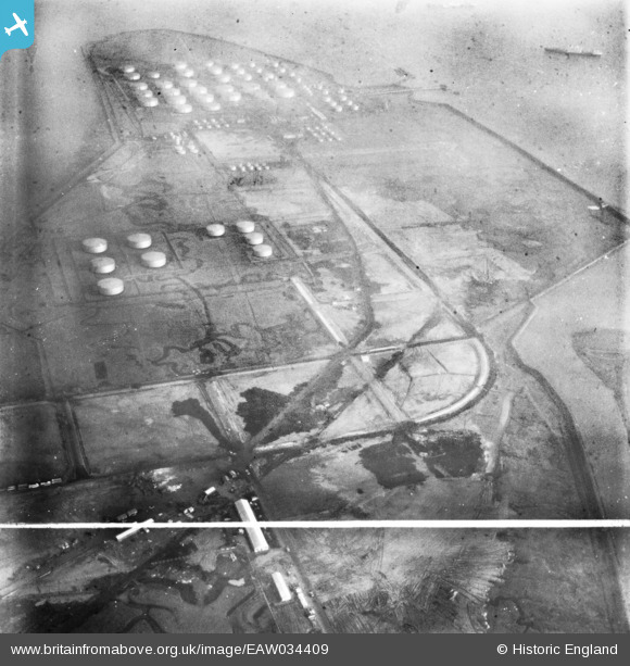
EAW034409 ENGLAND (1951). Part of the Coryton Oil Refinery under construction, Coryton, 1951. This image has been produced from a print marked by Aerofilms Ltd for photo editing.
© Copyright OpenStreetMap contributors and licensed by the OpenStreetMap Foundation. 2026. Cartography is licensed as CC BY-SA.
Nearby Images (48)
EAW045734

EAW048587

EAW048095

EAW043882

EAW042272

EAW048591

EAW048372

EAW043886

EAW042284

EAW048097

EAW053084

EAW047438

EAW039884

EAW035778

EAW043880

EAW048594

EAW034435

EAW035772

EAW051371

EAW042276

EAW042285

EAW048103

EAW043887

EAW035775

EAW045730

EAW034437

EAW047436

EAW042274

EAW043885

EAW048094

EAW024609
, Coryton, from the east, 1949. This image has been produced from a damaged negative.")
EAW039894

EAW034404

EAW048600

EAW048086

EAW035783

EAW047421

EAW048104

EAW039883

EAW051373

EAW039882

EAW042271

EAW048375

EAW035777

EAW048374

EAW045722

EAW048590

EAW039885

Details
| Title | [EAW034409] Part of the Coryton Oil Refinery under construction, Coryton, 1951. This image has been produced from a print marked by Aerofilms Ltd for photo editing. |
| Reference | EAW034409 |
| Date | 9-January-1951 |
| Link | |
| Place name | CORYTON |
| Parish | |
| District | |
| Country | ENGLAND |
| Easting / Northing | 574985, 182284 |
| Longitude / Latitude | 0.5220146132149, 51.511862408697 |
| National Grid Reference | TQ750823 |
Pins
Be the first to add a comment to this image!