
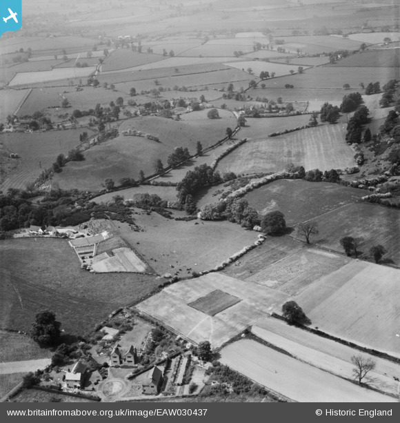
EAW030437 ENGLAND (1950). Spring Hill, Lower Penn, 1950
© Copyright OpenStreetMap contributors and licensed by the OpenStreetMap Foundation. 2026. Cartography is licensed as CC BY-SA.
Details
| Title | [EAW030437] Spring Hill, Lower Penn, 1950 |
| Reference | EAW030437 |
| Date | 20-June-1950 |
| Link | |
| Place name | LOWER PENN |
| Parish | LOWER PENN |
| District | |
| Country | ENGLAND |
| Easting / Northing | 387500, 295392 |
| Longitude / Latitude | -2.1843917737368, 52.555863822839 |
| National Grid Reference | SO875954 |
Pins

Paul Tarnawskyj |
Thursday 9th of July 2020 07:49:27 PM | |

Class31 |
Saturday 26th of April 2014 06:07:50 PM | |
|
Class31 |
Saturday 26th of April 2014 06:07:02 PM | |
|
Class31 |
Saturday 26th of April 2014 06:05:15 PM | |
|
Class31 |
Saturday 26th of April 2014 06:04:37 PM | |
|
Class31 |
Saturday 26th of April 2014 06:03:34 PM | |
|
Class31 |
Saturday 26th of April 2014 06:03:03 PM | |
|
Class31 |
Friday 25th of April 2014 12:41:13 PM | |
Wolverhampton & Kingswinford Railway. For further information I found John Speller's Web Pages very useful. See http://spellerweb.net/rhindex/UKRH/GreatWestern/Narrowgauge/Kingswinford.html |
Class31 |
Saturday 26th of April 2014 06:27:17 PM |
User Comment Contributions
View is looking west towards the hamlet of Orton. |
Class31 |
Tuesday 29th of April 2014 03:12:05 PM |
Thanks for the pins. We’ll update the catalogue with the new location data and post the revised record here in due course. Yours, Katy Britain from Above Cataloguing Team Leader |
Katy Whitaker |
Tuesday 29th of April 2014 03:12:05 PM |