
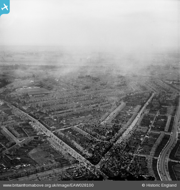
EAW028100 ENGLAND (1950). Park Avenue North, The Drive and the town, Northampton, from the north-east, 1950. This image has been produced from a damaged negative.
© Copyright OpenStreetMap contributors and licensed by the OpenStreetMap Foundation. 2026. Cartography is licensed as CC BY-SA.
Details
| Title | [EAW028100] Park Avenue North, The Drive and the town, Northampton, from the north-east, 1950. This image has been produced from a damaged negative. |
| Reference | EAW028100 |
| Date | 9-March-1950 |
| Link | |
| Place name | NORTHAMPTON |
| Parish | |
| District | |
| Country | ENGLAND |
| Easting / Northing | 477092, 262304 |
| Longitude / Latitude | -0.87053010051767, 52.253106643167 |
| National Grid Reference | SP771623 |
Pins
Be the first to add a comment to this image!