
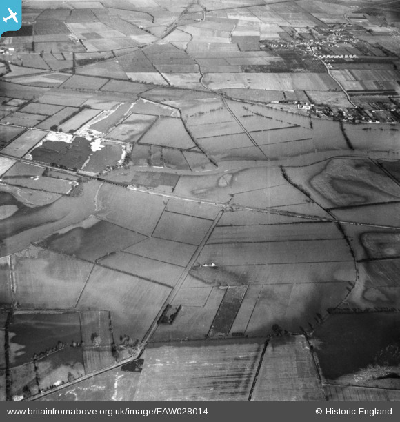
EAW028014 ENGLAND (1950). The River Great Ouse in flood around the Ouse Viaduct, Fenstanton, 1950
© Copyright OpenStreetMap contributors and licensed by the OpenStreetMap Foundation. 2026. Cartography is licensed as CC BY-SA.
Details
| Title | [EAW028014] The River Great Ouse in flood around the Ouse Viaduct, Fenstanton, 1950 |
| Reference | EAW028014 |
| Date | 17-February-1950 |
| Link | |
| Place name | FENSTANTON |
| Parish | FENSTANTON |
| District | |
| Country | ENGLAND |
| Easting / Northing | 532857, 270065 |
| Longitude / Latitude | -0.050866130076098, 52.312208774839 |
| National Grid Reference | TL329701 |
Pins
Be the first to add a comment to this image!