
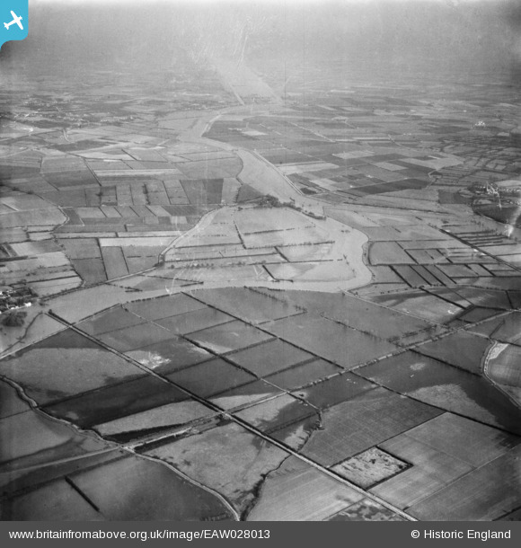
EAW028013 ENGLAND (1950). The River Great Ouse in flood, Fen Drayton, from the south-west, 1950
© Copyright OpenStreetMap contributors and licensed by the OpenStreetMap Foundation. 2026. Cartography is licensed as CC BY-SA.
Details
| Title | [EAW028013] The River Great Ouse in flood, Fen Drayton, from the south-west, 1950 |
| Reference | EAW028013 |
| Date | 17-February-1950 |
| Link | |
| Place name | FEN DRAYTON |
| Parish | FEN DRAYTON |
| District | |
| Country | ENGLAND |
| Easting / Northing | 534493, 269690 |
| Longitude / Latitude | -0.027029732305665, 52.308440694028 |
| National Grid Reference | TL345697 |
