
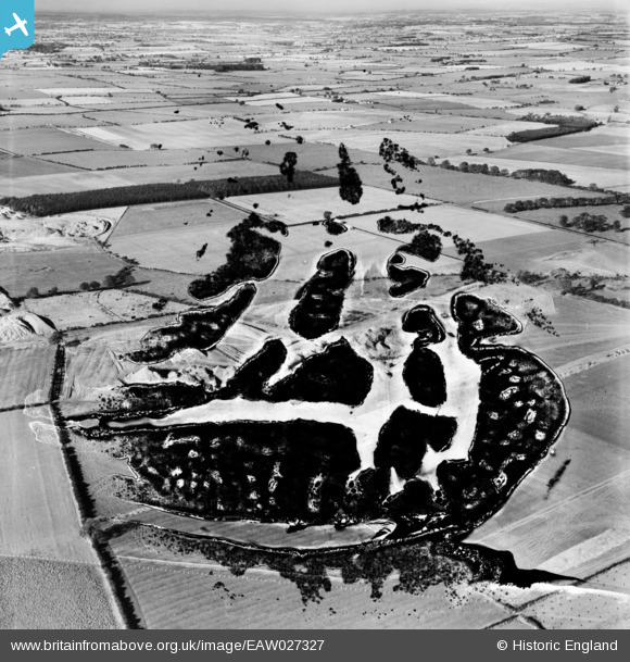
EAW027327 ENGLAND (1949). The Brenkley Opencast Coal Mining Workings (site of), Brenkley, 1949. This image has been produced from a damaged negative.
© Copyright OpenStreetMap contributors and licensed by the OpenStreetMap Foundation. 2026. Cartography is licensed as CC BY-SA.
Details
| Title | [EAW027327] The Brenkley Opencast Coal Mining Workings (site of), Brenkley, 1949. This image has been produced from a damaged negative. |
| Reference | EAW027327 |
| Date | 21-October-1949 |
| Link | |
| Place name | BRENKLEY |
| Parish | DINNINGTON |
| District | |
| Country | ENGLAND |
| Easting / Northing | 421333, 575717 |
| Longitude / Latitude | -1.6658481843448, 55.075387752426 |
| National Grid Reference | NZ213757 |
Pins
Be the first to add a comment to this image!