
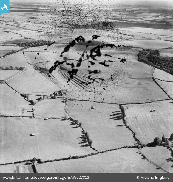
EAW027313 ENGLAND (1949). Sands Farm and surrounding countryside, Dyrham, from the west, 1949. This image has been produced from a damaged negative.
© Copyright OpenStreetMap contributors and licensed by the OpenStreetMap Foundation. 2026. Cartography is licensed as CC BY-SA.
Details
| Title | [EAW027313] Sands Farm and surrounding countryside, Dyrham, from the west, 1949. This image has been produced from a damaged negative. |
| Reference | EAW027313 |
| Date | 19-October-1949 |
| Link | |
| Place name | DYRHAM |
| Parish | DYRHAM AND HINTON |
| District | |
| Country | ENGLAND |
| Easting / Northing | 373734, 175013 |
| Longitude / Latitude | -2.3782165157603, 51.472983443108 |
| National Grid Reference | ST737750 |
