
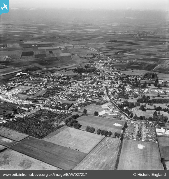
EAW027217 ENGLAND (1949). The town, Chatteris, from the south-east, 1949
© Copyright OpenStreetMap contributors and licensed by the OpenStreetMap Foundation. 2026. Cartography is licensed as CC BY-SA.
Details
| Title | [EAW027217] The town, Chatteris, from the south-east, 1949 |
| Reference | EAW027217 |
| Date | 12-October-1949 |
| Link | |
| Place name | CHATTERIS |
| Parish | CHATTERIS |
| District | |
| Country | ENGLAND |
| Easting / Northing | 539598, 285245 |
| Longitude / Latitude | 0.054286256815535, 52.446934395002 |
| National Grid Reference | TL396852 |
Pins

Ferrers |
Thursday 10th of February 2022 03:57:13 PM |