
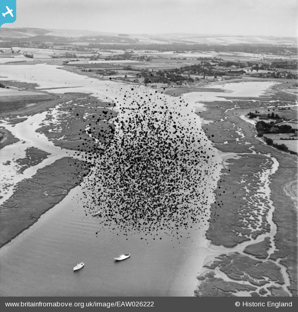
EAW026222 ENGLAND (1949). The Bosham Channel, Bosham, from the south-west, 1949. This image has been produced from a damaged negative.
© Copyright OpenStreetMap contributors and licensed by the OpenStreetMap Foundation. 2026. Cartography is licensed as CC BY-SA.
Details
| Title | [EAW026222] The Bosham Channel, Bosham, from the south-west, 1949. This image has been produced from a damaged negative. |
| Reference | EAW026222 |
| Date | 12-August-1949 |
| Link | |
| Place name | BOSHAM |
| Parish | CHIDHAM AND HAMBROOK |
| District | |
| Country | ENGLAND |
| Easting / Northing | 479747, 102958 |
| Longitude / Latitude | -0.86775954202077, 50.820105836774 |
| National Grid Reference | SU797030 |
Pins
Be the first to add a comment to this image!