
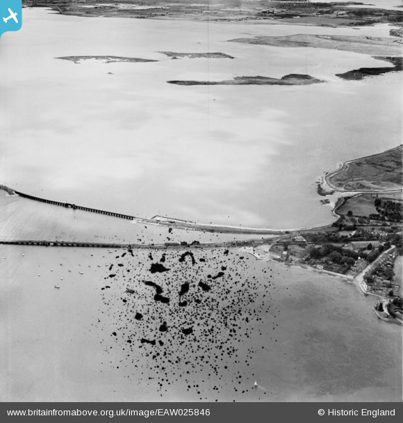
EAW025846 ENGLAND (1949). Langstone Harbour, Langstone, 1949. This image has been produced from a damaged negative.
© Copyright OpenStreetMap contributors and licensed by the OpenStreetMap Foundation. 2026. Cartography is licensed as CC BY-SA.
Details
| Title | [EAW025846] Langstone Harbour, Langstone, 1949. This image has been produced from a damaged negative. |
| Reference | EAW025846 |
| Date | 10-August-1949 |
| Link | |
| Place name | LANGSTONE |
| Parish | |
| District | |
| Country | ENGLAND |
| Easting / Northing | 471740, 104566 |
| Longitude / Latitude | -0.98110719107002, 50.835612834936 |
| National Grid Reference | SU717046 |
Pins
Be the first to add a comment to this image!