
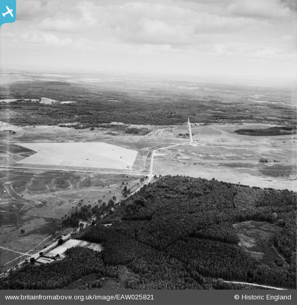
EAW025821 ENGLAND (1949). Wilverley Inclosure, Spy Holms and Markway Hill, Wilverley Inclosure, from the south, 1949
© Copyright OpenStreetMap contributors and licensed by the OpenStreetMap Foundation. 2025. Cartography is licensed as CC BY-SA.
Details
| Title | [EAW025821] Wilverley Inclosure, Spy Holms and Markway Hill, Wilverley Inclosure, from the south, 1949 |
| Reference | EAW025821 |
| Date | 10-August-1949 |
| Link | |
| Place name | WILVERLEY INCLOSURE |
| Parish | BROCKENHURST |
| District | |
| Country | ENGLAND |
| Easting / Northing | 424153, 101687 |
| Longitude / Latitude | -1.6571291979118, 50.813664787165 |
| National Grid Reference | SU242017 |
Pins
Be the first to add a comment to this image!