
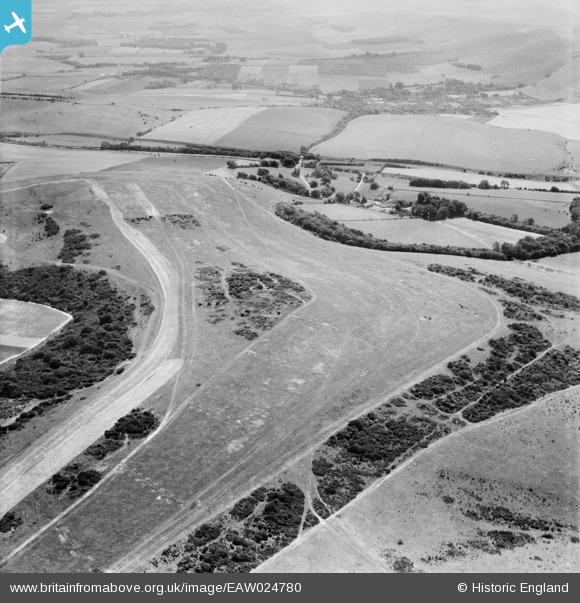
EAW024780 ENGLAND (1949). Chalk downland above Ashcombe House, Lewes, from the north-west, 1949
© Copyright OpenStreetMap contributors and licensed by the OpenStreetMap Foundation. 2025. Cartography is licensed as CC BY-SA.
Details
| Title | [EAW024780] Chalk downland above Ashcombe House, Lewes, from the north-west, 1949 |
| Reference | EAW024780 |
| Date | 12-July-1949 |
| Link | |
| Place name | LEWES |
| Parish | ST. ANN (WITHOUT) |
| District | |
| Country | ENGLAND |
| Easting / Northing | 538353, 110449 |
| Longitude / Latitude | -0.033258856549745, 50.876399392039 |
| National Grid Reference | TQ384104 |
Pins
Be the first to add a comment to this image!