
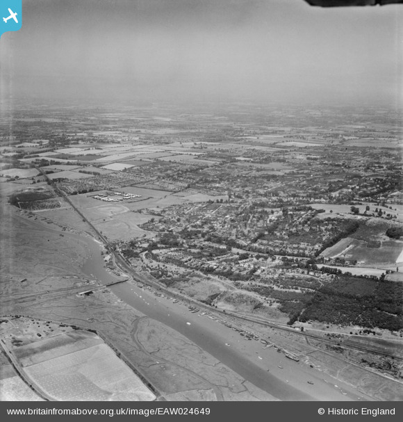
EAW024649 ENGLAND (1949). Benfleet Creek and the town, South Benfleet, from the south-east, 1949
© Copyright OpenStreetMap contributors and licensed by the OpenStreetMap Foundation. 2026. Cartography is licensed as CC BY-SA.
Details
| Title | [EAW024649] Benfleet Creek and the town, South Benfleet, from the south-east, 1949 |
| Reference | EAW024649 |
| Date | 11-July-1949 |
| Link | |
| Place name | SOUTH BENFLEET |
| Parish | |
| District | |
| Country | ENGLAND |
| Easting / Northing | 578235, 185666 |
| Longitude / Latitude | 0.57051719168179, 51.541228378343 |
| National Grid Reference | TQ782857 |
