
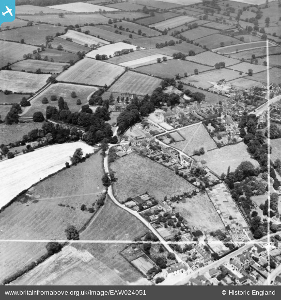
EAW024051 ENGLAND (1949). Bakehouse Lane and environs, Ockbrook, 1949. This image has been produced from a print marked by Aerofilms Ltd for photo editing.
© Copyright OpenStreetMap contributors and licensed by the OpenStreetMap Foundation. 2025. Cartography is licensed as CC BY-SA.
Nearby Images (4)
EAW024051

EAW024049

EAW024052

EAW024050

Details
| Title | [EAW024051] Bakehouse Lane and environs, Ockbrook, 1949. This image has been produced from a print marked by Aerofilms Ltd for photo editing. |
| Reference | EAW024051 |
| Date | 21-June-1949 |
| Link | |
| Place name | OCKBROOK |
| Parish | OCKBROOK AND BORROWASH |
| District | |
| Country | ENGLAND |
| Easting / Northing | 442088, 336041 |
| Longitude / Latitude | -1.3739494397865, 52.919817616312 |
| National Grid Reference | SK421360 |
Pins
Be the first to add a comment to this image!