
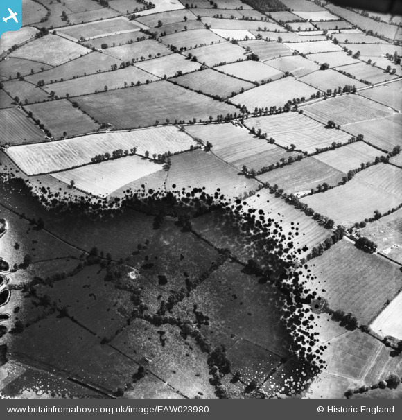
EAW023980 ENGLAND (1949). Fields to the south-west of the village, Butlers Marston, 1949. This image has been produced from a damaged negative.
© Copyright OpenStreetMap contributors and licensed by the OpenStreetMap Foundation. 2026. Cartography is licensed as CC BY-SA.
Details
| Title | [EAW023980] Fields to the south-west of the village, Butlers Marston, 1949. This image has been produced from a damaged negative. |
| Reference | EAW023980 |
| Date | 23-June-1949 |
| Link | |
| Place name | BUTLERS MARSTON |
| Parish | BUTLERS MARSTON |
| District | |
| Country | ENGLAND |
| Easting / Northing | 431007, 249984 |
| Longitude / Latitude | -1.5468065628852, 52.146864238205 |
| National Grid Reference | SP310500 |
Pins
Be the first to add a comment to this image!