
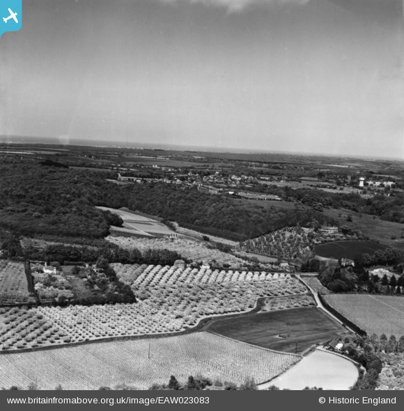
EAW023083 ENGLAND (1949). Farmland and woodland, Harbledown, from the south-west, 1949. This image has been produced from a print.
© Copyright OpenStreetMap contributors and licensed by the OpenStreetMap Foundation. 2026. Cartography is licensed as CC BY-SA.
Details
| Title | [EAW023083] Farmland and woodland, Harbledown, from the south-west, 1949. This image has been produced from a print. |
| Reference | EAW023083 |
| Date | 10-May-1949 |
| Link | |
| Place name | HARBLEDOWN |
| Parish | HARBLEDOWN AND ROUGH COMMON |
| District | |
| Country | ENGLAND |
| Easting / Northing | 612029, 158034 |
| Longitude / Latitude | 1.0406930714853, 51.281414380388 |
| National Grid Reference | TR120580 |
