
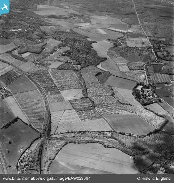
EAW023064 ENGLAND (1949). Orchards to the west of Gorse Meadow Farm, Harbledown, 1949
© Copyright OpenStreetMap contributors and licensed by the OpenStreetMap Foundation. 2026. Cartography is licensed as CC BY-SA.
Details
| Title | [EAW023064] Orchards to the west of Gorse Meadow Farm, Harbledown, 1949 |
| Reference | EAW023064 |
| Date | 10-May-1949 |
| Link | |
| Place name | HARBLEDOWN |
| Parish | HARBLEDOWN AND ROUGH COMMON |
| District | |
| Country | ENGLAND |
| Easting / Northing | 612365, 157630 |
| Longitude / Latitude | 1.0452642097013, 51.277661251934 |
| National Grid Reference | TR124576 |
Pins

Sparky |
Monday 28th of August 2017 11:06:33 AM | |
|
Sparky |
Friday 30th of June 2017 09:39:33 PM | |
|
Sparky |
Friday 30th of June 2017 09:38:23 PM | |

rorykehoe |
Monday 16th of December 2013 11:16:38 AM | |
|
rorykehoe |
Monday 16th of December 2013 11:15:32 AM | |
|
rorykehoe |
Monday 16th of December 2013 11:15:04 AM | |
|
rorykehoe |
Monday 16th of December 2013 11:14:31 AM |