
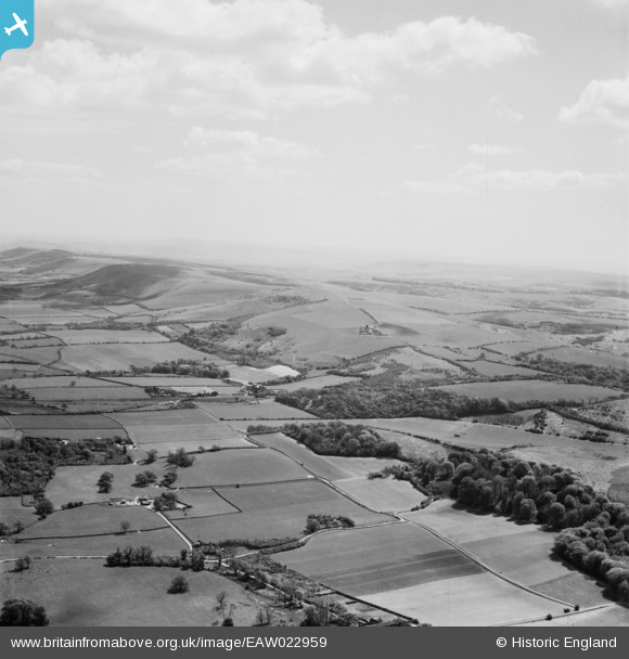
EAW022959 ENGLAND (1949). The South Downs at Clayton and the Clayton (Jack and Jill) Windmills, Pyecombe, from the north-west, 1949
© Copyright OpenStreetMap contributors and licensed by the OpenStreetMap Foundation. 2026. Cartography is licensed as CC BY-SA.
Details
| Title | [EAW022959] The South Downs at Clayton and the Clayton (Jack and Jill) Windmills, Pyecombe, from the north-west, 1949 |
| Reference | EAW022959 |
| Date | 6-May-1949 |
| Link | |
| Place name | PYECOMBE |
| Parish | PYECOMBE |
| District | |
| Country | ENGLAND |
| Easting / Northing | 529247, 114207 |
| Longitude / Latitude | -0.16130040612916, 50.912288073236 |
| National Grid Reference | TQ292142 |
Pins

Mary |
Friday 20th of December 2013 09:53:49 PM | |
|
Mary |
Friday 20th of December 2013 09:53:17 PM | |
|
Mary |
Friday 20th of December 2013 09:52:40 PM | |
|
Mary |
Friday 20th of December 2013 09:51:51 PM | |
|
Mary |
Friday 20th of December 2013 09:50:55 PM | |
|
Mary |
Friday 20th of December 2013 09:50:30 PM | |
|
Mary |
Friday 20th of December 2013 09:49:11 PM | |
|
Mary |
Friday 20th of December 2013 09:48:49 PM |