
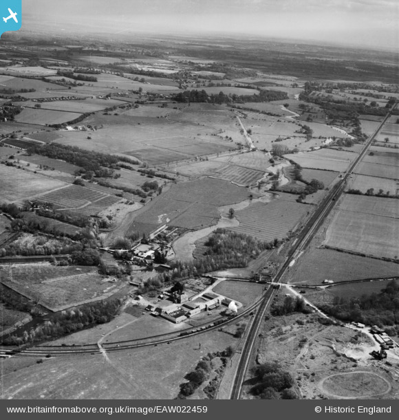
EAW022459 ENGLAND (1949). Kimbridge Junction, Farm and the River Test, Kimbridge, from the north-west, 1949
© Copyright OpenStreetMap contributors and licensed by the OpenStreetMap Foundation. 2026. Cartography is licensed as CC BY-SA.
Details
| Title | [EAW022459] Kimbridge Junction, Farm and the River Test, Kimbridge, from the north-west, 1949 |
| Reference | EAW022459 |
| Date | 22-April-1949 |
| Link | |
| Place name | KIMBRIDGE |
| Parish | MICHELMERSH AND TIMSBURY |
| District | |
| Country | ENGLAND |
| Easting / Northing | 432945, 125546 |
| Longitude / Latitude | -1.5301677635415, 51.027797609795 |
| National Grid Reference | SU329255 |
Pins
Be the first to add a comment to this image!
User Comment Contributions
Annie's Tea Rooms |

Lee |
Saturday 21st of January 2017 03:03:37 PM |