
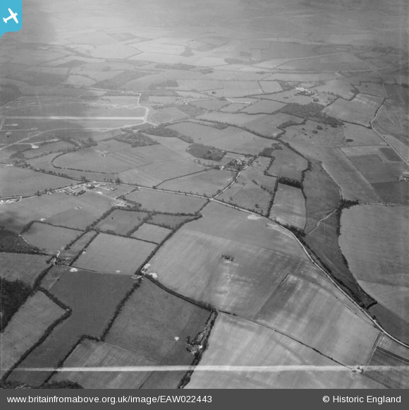
EAW022443 ENGLAND (1949). Countryside around The Lambourn Stud (Kingwood Stud), Lambourn, from the north-east, 1949. This image was marked by Aerofilms Ltd for photo editing.
© Copyright OpenStreetMap contributors and licensed by the OpenStreetMap Foundation. 2026. Cartography is licensed as CC BY-SA.
Details
| Title | [EAW022443] Countryside around The Lambourn Stud (Kingwood Stud), Lambourn, from the north-east, 1949. This image was marked by Aerofilms Ltd for photo editing. |
| Reference | EAW022443 |
| Date | 22-April-1949 |
| Link | |
| Place name | LAMBOURN |
| Parish | LAMBOURN |
| District | |
| Country | ENGLAND |
| Easting / Northing | 432060, 177385 |
| Longitude / Latitude | -1.5381401767142, 51.494014297595 |
| National Grid Reference | SU321774 |
Pins
Be the first to add a comment to this image!