
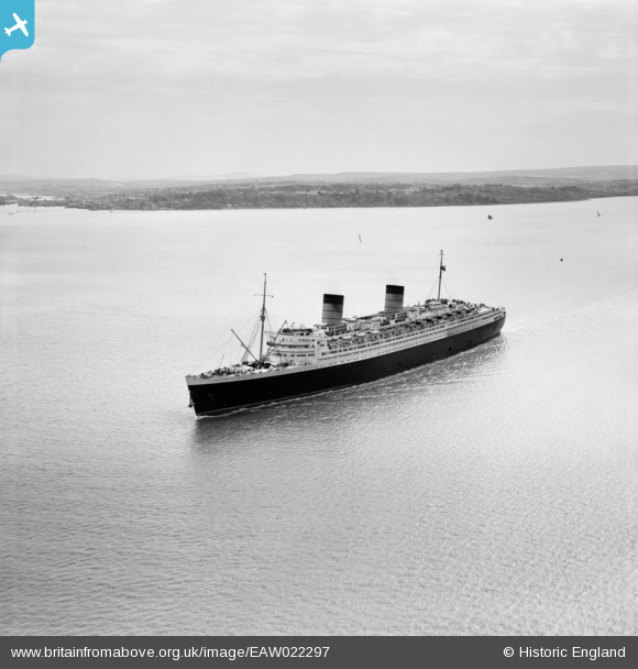
EAW022297 ENGLAND (1949). RMS Queen Elizabeth in the Solent between Stansore Point and Cowes, Cowes, from the north-west, 1949
© Copyright OpenStreetMap contributors and licensed by the OpenStreetMap Foundation. 2026. Cartography is licensed as CC BY-SA.
Details
| Title | [EAW022297] RMS Queen Elizabeth in the Solent between Stansore Point and Cowes, Cowes, from the north-west, 1949 |
| Reference | EAW022297 |
| Date | 18-May-1949 |
| Link | |
| Place name | COWES |
| Parish | COWES |
| District | |
| Country | ENGLAND |
| Easting / Northing | 447280, 97274 |
| Longitude / Latitude | -1.3294095465585, 50.772552188386 |
| National Grid Reference | SZ473973 |
Pins
Be the first to add a comment to this image!