
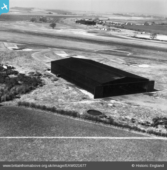
EAW021677 ENGLAND (1949). Hangar at Tarrant Rushton Airfield, Tarrant Rushton, from the south-east, 1949. This image has been produced from a print marked by Aerofilms Ltd for photo editing.
© Copyright OpenStreetMap contributors and licensed by the OpenStreetMap Foundation. 2026. Cartography is licensed as CC BY-SA.
Details
| Title | [EAW021677] Hangar at Tarrant Rushton Airfield, Tarrant Rushton, from the south-east, 1949. This image has been produced from a print marked by Aerofilms Ltd for photo editing. |
| Reference | EAW021677 |
| Date | 24-March-1949 |
| Link | |
| Place name | TARRANT RUSHTON |
| Parish | TARRANT RUSHTON |
| District | |
| Country | ENGLAND |
| Easting / Northing | 395712, 105576 |
| Longitude / Latitude | -2.0609175989281, 50.849128529677 |
| National Grid Reference | ST957056 |
Pins

Sparky |
Sunday 10th of September 2017 09:10:28 AM |