
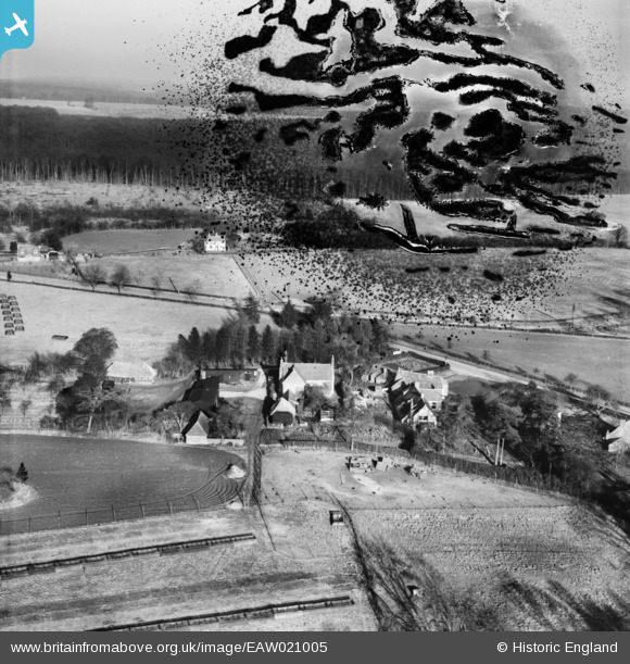
EAW021005 ENGLAND (1949). Christmas Farm and environs, Christmas Common, from the west, 1949. This image has been produced from a damaged negative.
© Copyright OpenStreetMap contributors and licensed by the OpenStreetMap Foundation. 2026. Cartography is licensed as CC BY-SA.
Details
| Title | [EAW021005] Christmas Farm and environs, Christmas Common, from the west, 1949. This image has been produced from a damaged negative. |
| Reference | EAW021005 |
| Date | 11-February-1949 |
| Link | |
| Place name | CHRISTMAS COMMON |
| Parish | WATLINGTON |
| District | |
| Country | ENGLAND |
| Easting / Northing | 471373, 193179 |
| Longitude / Latitude | -0.96865635380753, 51.632420514863 |
| National Grid Reference | SU714932 |
Pins
Be the first to add a comment to this image!