
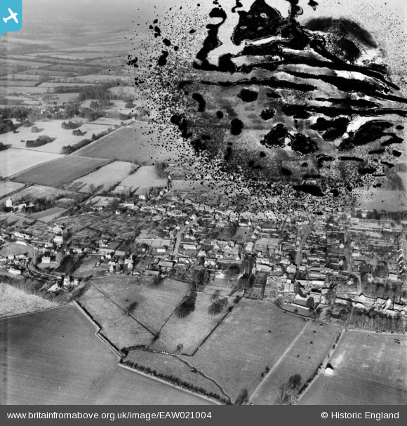
EAW021004 ENGLAND (1949). The town, Watclington, 1949. This image has been produced from a damaged negative.
© Copyright OpenStreetMap contributors and licensed by the OpenStreetMap Foundation. 2026. Cartography is licensed as CC BY-SA.
Details
| Title | [EAW021004] The town, Watclington, 1949. This image has been produced from a damaged negative. |
| Reference | EAW021004 |
| Date | 11-February-1949 |
| Link | |
| Place name | WATLINGTON |
| Parish | WATLINGTON |
| District | |
| Country | ENGLAND |
| Easting / Northing | 468828, 194652 |
| Longitude / Latitude | -1.0051358786831, 51.64598137473 |
| National Grid Reference | SU688947 |
Pins
Be the first to add a comment to this image!
User Comment Contributions
The correct spelling is Watlington |

Rog G |
Sunday 21st of September 2014 07:30:24 PM |