
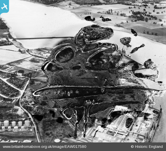
EAW017580 ENGLAND (1948). Cliff Quay Power Station under construction (site of), Ipswich, 1948. This image has been produced from a damaged negative.
© Copyright OpenStreetMap contributors and licensed by the OpenStreetMap Foundation. 2026. Cartography is licensed as CC BY-SA.
Nearby Images (48)
EPW032840

EAW008077

EAW002319

EAW012457
, Ipswich, 1947. This image has been produced from a damaged negative.")
EAW002325

EAW017571

EAW012445

EAW002320

EAW001990

EAW027827

EAW001986

EAW017562

EAW008087

EAW001984

EAW002321

EAW001987

EAW024319

EAW002318

EAW012450

EAW017567

EAW017575

EAW012448

EAW027817

EAW033191

EAW001983

EAW033196

EAW012451

EAW017563

EAW024326

EAW033204

EAW045634

EAW001989

EAW033194

EAW012449

EAW033199

EAW008089

EAW017581
 and environs, Ipswich, 1948. This image has been produced from a damaged negative.")
EAW033193

EAW020670

EAW024335

EAW020668

EAW008088

EAW017579

EAW045637

EAW017578

EAW017572

EAW002323

EAW045635

Details
| Title | [EAW017580] Cliff Quay Power Station under construction (site of), Ipswich, 1948. This image has been produced from a damaged negative. |
| Reference | EAW017580 |
| Date | 23-July-1948 |
| Link | |
| Place name | IPSWICH |
| Parish | |
| District | |
| Country | ENGLAND |
| Easting / Northing | 617104, 242299 |
| Longitude / Latitude | 1.1656926504107, 52.036097926909 |
| National Grid Reference | TM171423 |
Pins
Be the first to add a comment to this image!